Ehsan Jalilvand

My research on the water cycle.

I study how water moves through landscapes, how people reshape its journey, and what satellites reveal about both.
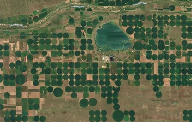
A watershed, seen through my researchAn isometric watershed that drains to a coast, with eight interactive areas: snow and frozen ground, rain, a lake, vegetation, soil moisture in the surface layer and root zone, drainage, rivers, and a farm linking to a second landscape, where a center pivot draws on a groundwater well whose pumping lowers the water table around it in a cone of depression, and a diversion dam on the river feeds canals that irrigate rectangular fields one at a time. Tab to each area and press Enter, or choose the matching buttons below. Soil moisture: surface layer and root zoneSurface · top 5 cmRoot zone · to ~1 m07Soil moistureSnow and cold-region hydrology01Snow & frozen groundFloods and hydrological extremescoast04Runoff & riversHuman-driven processes: a center pivot fed by a groundwater well, and a diversion dam feeding canals that irrigate river-fed fields in turn; opens the page on irrigationDiversion damRiver-fed fieldsGroundwaterCenter pivot02Human-drivenprocesses →Vegetation water and land-atmosphere exchangeevapotranspiration06Vegetation & ETPrecipitation03RainLakes and evaporation05LakesSoil drainage08Drainage

My focus · Human-driven processesIrrigation, the largest human intervention in the water cycleWhy it matters, what is missing, my studies on where, when and how much farms irrigate, and a research library.