
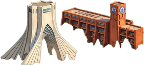
2013 · Sharif University. PhD: an inverse water balance model (SM2RAIN-DfD) that estimates rainfall from satellite soil moisture alone, and soil hydraulic properties from soil-moisture drydowns.
2015–19 · SDK, my startup. Co-founded a startup for environmental monitoring from satellite observations.
2016–17 · CNR IRPI, Italy. Visiting researcher, improving SM2RAIN, a bottom-up approach that estimates rainfall from satellite soil moisture.
2019 · Sharif University. Finished my PhD with my first irrigation study, and taught undergraduate hydrology.
2019–21 · First postdoc, Sharif University. Detected the irrigation signal in SMAP soil moisture, and assimilated SMAP–Sentinel-1 soil moisture into the VIC model to estimate how much water farms applied.
2021–22 · Amirkabir University. Taught a graduate course on remote sensing and GIS in water resources, recorded for YouTube.
2021–22 · Research Institute for Earth Sciences, Geological Survey of Iran. Assistant professor: a rainfall-triggered landslide risk map of Iran, and climate-change hotspots from high-resolution climate models.
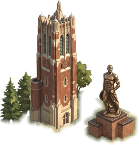
2022–23 · Second postdoc, Michigan State University. Built high-resolution SMAP–Sentinel-1 soil moisture for northern latitudes and permafrost, brought human water use into Noah-MP through data assimilation, worked on NISAR soil moisture for field-scale irrigation, and joined NASA JPL’s SMAPVEX22 field campaign.
2023 · Georgia Tech, online. Began an online Master of Science in Analytics, and with it deep learning and applied, geospatial machine learning.
2023 · NASA Goddard. Water cycle and Earth system modeling, bringing satellite observations and machine learning into the models.
2024 · Georgia Tech, online. Kept going with the analytics master’s.
Now · NASA Goddard. Mapping irrigated land with few labels, and automating research work.
- 2013: ArcGIS
- 2013: ENVI
- 2013: Remote sensing
- 2013: MATLAB coding
- 2015–19: UX design
- 2015–19: Storytelling
- 2016–17: Image processing
- 2016–17: Model building
- 2019: Teaching
- 2019–21: Linux
- 2019–21: Bash
- 2019–21: Perl
- 2019–21: Website design
- 2019–21: Land surface models
- 2019–21: Data assimilation
- 2019–21: Machine learning
- 2021–22: Google Earth Engine
- 2021–22: YouTube
- 2022–23: Python
- 2022–23: HPC
- 2023: Deep learning
- 2023: Geospatial machine learning
- 2023: Git
- 2023: NASA LIS · Fortran
- 2023: Python packages
- 2023: Python geospatial stack
- Now: Foundation models
- Now: AI agents